
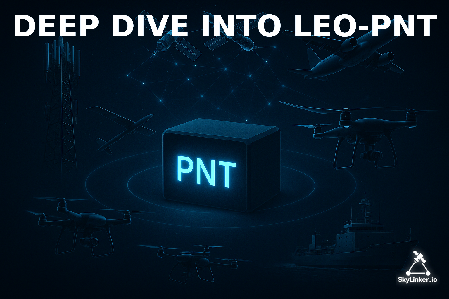
Deep dive into LEO-PNT
What is LEO PNT? What are the advantages and disadvantages? What frequencies, chipsets, and approaches are used? What exactly do the key players offer — Iridium, Starlink, OneWeb/Eutelsat, Kuiper?

Why the world is moving to LEO-PNT
In today’s world, the concept of PNT (Positioning, Navigation and Timing) has long gone beyond the military or scientific sphere. It underlies the functioning of global financial transactions, mobile communications and 5G networks, transport and logistics, energy systems and grid synchronization, unmanned technologies and smart cities.
Without accurate time and coordinates, the economy literally comes to a halt.
This topic has already been covered in two previous articles:


The logical next step now is to dive into LEO PNT.
Advantages
Satellites in low Earth orbit (LEO, 500–1200 km) can become an alternative or a supplement to GNSS — which is why leading countries and companies around the world are actively engaged in it.
Global navigation satellite systems (GNSS: GPS, Galileo, BeiDou, GLONASS) operate in medium Earth orbit (MEO, 20,000 km). This means weak signal strength on the surface (–160 dBW), high vulnerability to jamming and spoofing, delays in updating navigation messages, and difficulties in urban canyons and indoors.
In military conflicts these weaknesses became obvious: GNSS can be jammed or spoofed at the local or even regional level. This created political and economic demand for Resilient PNT — systems that remain functional even in critical conditions. LEO satellites became the natural candidate for this role.
LEO has several fundamental advantages: stronger signal (20–30 dB more powerful compared to MEO), lower latency (milliseconds versus tens of milliseconds in MEO), large number of satellites in mega-constellations (Starlink, OneWeb, Kuiper), and inter-satellite links (OISL), which allow the distribution of precise time with minimal errors.
Implementation
The idea of using LEO for navigation is not new. Back in the 1990s, the Iridium network (66 satellites for voice communications) showed that signals from low orbit could be used for positioning via the Doppler effect. In the 2010s, the startup Satelles created a commercial STL (Satellite Time and Location) service based on Iridium. In 2024, Iridium acquired Satelles and officially integrated STL into its offering, positioning it as a secure complement to GNSS. Details — in one of the following materials.
Meanwhile, other players — SpaceX, OneWeb, Amazon — started building massive LEO constellations for internet services, which turned out to be suitable for PNT as well. Most likely, over time, each major LEO constellation will have its own PNT — AFAR-based terminals simply cannot effectively steer a beam without precise space geometry. And as practice shows — relying solely on GNSS here is simply impossible.
But the dominant driver of the process will most likely be SpaceX. Recently, Starlink terminals have shown good performance using their own PNT functionality under GNSS denial conditions. Although SpaceX gives no official public comments, we can be sure that Elon Musk’s appeal to the FCC, proposing to rely on Starlink’s PNT service, was based on his team’s confidence in being able to raise this critical function to the level of a reliable service for critical infrastructure.
On the geopolitical dimension: the U.S., through SDA and DARPA, is developing the Proliferated LEO idea; the EU, through ESA, is launching the Celeste program as a supplement to Galileo; China is building GuoWang and integrating BeiDou with LEO signals; Russia declares “Sfera” (and some others), but there is no real progress there (and hopefully never will be). Thus, LEO-PNT is becoming not just an engineering trend but a geopolitical race.
We will further analyze which frequencies, chipsets, and approaches are applied in LEO-PNT. And what exactly the key players (Iridium, Starlink, OneWeb/Eutelsat, Kuiper, ESA Celeste, SDA/DARPA, China, Russia) propose, the strengths and weaknesses of each project, and what the comparative picture looks like — in separate publications.
This will allow you to form a holistic vision of the state of LEO-PNT as of 2025.
Frequencies
PNT has always depended on radio-frequency resources. Classic GNSS (GPS, Galileo, BeiDou, GLONASS) use the L-band (1–2 GHz), where the signal has a good balance of penetration and stability.
But in the case of LEO systems, the spectrum is much wider.
In LEO, the following are used simultaneously:
L-band (1–2 GHz) for Direct-to-Cell and special PNT channels
S-band (2–4 GHz) for experimental signals (ESA Celeste, BDS LEO)
Ku/Ka-band (10–30 GHz) — the basis of broadband satellite systems (Starlink, OneWeb, Kuiper)
UHF/L-band for backup and military channels
LEO has a natural advantage: satellites are much closer (500–1200 km) than GNSS (~20,000 km). This means the surface signal is on average 20–30 dB stronger, harder to jam, with potential for operation in challenging environments (indoors, urban canyons).
For example: Starlink downlink in the Ku-band has power density sufficient for stable SDR reception without special antennas. Iridium STL operates in LEO and has signal strength that penetrates walls and works indoors where GPS fails.
Chipsets
Qualcomm and Broadcom support capabilities for LEO signals, u-blox experiments with combining GNSS and “signals of opportunity.”
Commercial solutions: Iridium STL has its own receivers for data centers and energy, Astra™ A-PNT (OneWeb Technologies) is built on SDR integrating GNSS and STL.
SDR platforms are widely used in scientific experiments with Starlink and OneWeb signals.
And this is by no means exhaustive — by the end of 2025 the market is expected to see many interesting novelties from various manufacturers. Certain details will be provided in further detailed reviews of the mentioned solutions and systems.
Methods
Doppler (Iridium STL) — positioning by frequency shift
Pseudorange (Starlink, OneWeb) — by signal time of arrival
OISL-time distribution (SDA, Celeste, Starlink) — precise time distribution between satellites via lasers
Hybrid solutions (Iridium STL + GNSS + OneWeb) for enhanced resilience
So in upcoming reviews I will analyze in detail and separately each technological solution mentioned above, including strengths and weaknesses. In some cases — real-life applications.
Of course, no sensitive information will be included in publicly available materials regardless of how it was obtained. But it will be available to AFoU instructors at the stage of TTT training.
Author’s Note
Those who follow my work know — the preparation and publication of such “preview” materials help to create high-quality and effective educational content, including for the training of instructors. First and foremost for the Defense Forces of Ukraine.
Such publications make it possible to work with feedback and improve things while still in the preparation phase of courses. This greatly accelerates the process and makes the result maximally effective. This is confirmed by the training materials on Starlink created years ago (a public guide is available here) and the training of many dozens of instructors for the Defense Forces of Ukraine.
The materials of this series, like other similar ones, will be available only to paid subscribers. The subscription does not cost much, but these funds will help attract the resources needed to prepare educational materials. Therefore I invite you to support this process precisely through subscription.
For those wishing to support both educational activities and the creation of original news and analytical content for the SkyLinker.io project, a Patron-level subscription is available, where you can flexibly determine the level of support. Of course, this level also gives maximum access to materials and content, and provides the possibility to order training and consultations from experts with priority.
By supporting this project with a subscription and repost, you support the training of Ukrainian specialists who will ensure the country’s defense, working with the most advanced technologies.
Volodymyr Stepanets